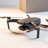
Imagine having the superpower to see heat. You could spot a lost hiker in the dead of night, identify a faulty solar panel from the sky, or see exactly where a fire is hottest through thick smoke. This isn’t science fiction; it’s the reality made possible by a thermal imaging drone. These remarkable aircraft are changing industries and saving lives by revealing a world invisible to the naked eye. As the lead content creator for RVSWS, with over 15 years in the field, I’ve witnessed firsthand how this technology has evolved from a niche military tool to an indispensable asset for professionals everywhere.
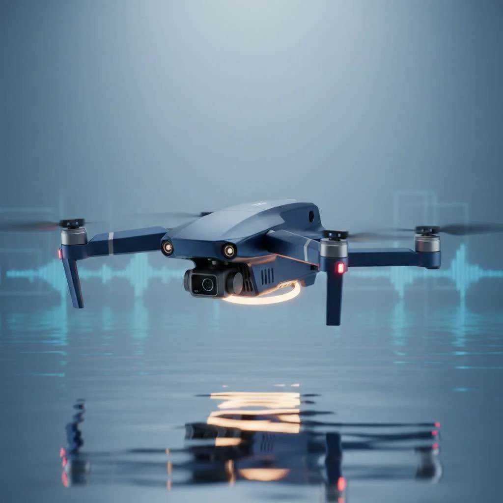
A thermal imaging drone is an unmanned aerial vehicle (UAV) equipped with a specialized camera that doesn’t capture visible light. Instead, it detects infrared radiation—the heat energy emitted by all objects with a temperature above absolute zero. The drone’s software then translates this data into a visual image, or thermogram, creating a heat map where different colors represent different temperatures. This allows operators to see in complete darkness and through obscurants like fog, dust, and smoke.
How Does a Thermal Imaging Drone Actually See Heat?
Every object, from a person to a power line, gives off thermal energy. The hotter the object, the more infrared radiation it emits. A thermal camera, often called a microbolometer, is a sophisticated sensor that can detect minute differences in this energy.
Think of it like this: a regular camera captures the light that bounces off an object, creating a picture of how it looks. A thermal camera, on the other hand, captures the energy an object emits, creating a picture of its heat. The drone’s onboard processor receives these signals and creates the thermogram. This heat map is often displayed in a range of colors, like “White Hot” (hotter objects are white), “Black Hot” (hotter objects are black), or vibrant palettes like “Ironbow,” which use color gradients to make temperature differences more obvious.
Key Applications: Where Thermal Drones Are Making an Impact
The ability to visualize heat from an aerial perspective has unlocked a vast range of applications, revolutionizing safety, efficiency, and data collection across multiple sectors.
Public Safety and Emergency Services
In emergency situations, time is critical. A thermal imaging drone provides invaluable situational awareness.
- Search and Rescue: First responders can scan vast, difficult-to-access areas to quickly locate the heat signature of a missing person, significantly reducing search times, especially at night or in dense foliage.
- Firefighting: Fire crews use thermal drones to see through smoke, identify hotspots, locate trapped individuals, and determine the fire’s direction of spread, allowing for safer and more effective strategies.
Industrial and Utility Inspections
|
Our Picks for the Best Drone in 2026
As an Amazon Associate I earn from qualifying purchases.
|
||
| Num | Product | Action |
|---|---|---|
| 1 | Drone with Camera - Drones for Adults, with 2 Batteries, Carrying Case, Propellers, 1080P HD Foldable Drone with Stable Hover, Trajectory Flight, Gravity Control, One Key Take Off/Land, 3D Flip |

|
| 2 | LỖI |
|
| 3 | DJI Mini 3 (DJI RC), Lightweight 3x Mechanical Gimbal Drones with Camera for Adults 4K, 38-min Flight Time, up to 32800ft (10km) Video Transmission, Vertical Shooting, GPS Auto Return Integrated |
|
| 4 | Drone with Camera 1080P HD FPV Foldable Drone for Adults and Beginners, RC Quadcopter with Gravity Control, One Key Take Off/Land, Optical Flow Positioning, 360° Flip, 3 Speed Mode, Waypoint Fly Grey |
|
| 5 | DJI Mini 3 Fly More Combo (DJI RC), Drones with Camera for Adults 4K, 3 Batteries for 114-min Flight Time, Vertical Shooting, 32800ft (10km) Video Transmission, Lightweight Mini Drone for Beginners |
|
| 6 | Drone with Camera for Adults, 2K HD FPV Drones with Upgrade Altitude Hold, One-Key Take Off/Landing, Speed Adjustment, Headless Mode, 2 Batteries, Toys Gifts for Teen Boys Girls, Beginner |
|
| 7 | DJI Mini 5 Pro Fly More Combo with DJI RC 2, Drone with Camera, 1-Inch CMOS, 4K Drone for Beginners with Omnidirectional Obstacle Sensing, ActiveTrack 360°, 225° Gimbal Rotation, 3 Batteries |
|
| 8 | Drone with 1080P Camera for Beginners and Adults, Foldable Remote Control Quadcopter with Voice Control, Gestures Selfie, Altitude Hold, One Key Start, 3D Flips, 2 Batteries, Toy for Beginners |
|
| 9 | DJI Neo Three-Battery Combo, Mini Drone with 4K UHD Camera for Adults, 135g Self Flying Drone that Follows You, Palm Takeoff, Subject Tracking, QuickShots, Stabilized Video (Controller-Free) |
|
| 10 | DJI Neo, Mini Drone with 4K UHD Camera for Adults, 135g Self Flying Drone that Follows You, Palm Takeoff, Subject Tracking, QuickShots, Stabilized Video, Built-In Propeller Guard (Controller-Free) |
|
Performing manual inspections can be dangerous, time-consuming, and costly. Drones offer a superior alternative.
- Energy and Utilities: Inspectors can safely scan miles of power lines to find overheating components, a clear sign of a potential failure. They’re also used to inspect solar farms, where underperforming or damaged cells appear as hotter than surrounding panels.
- Roofing and Construction: A thermal drone can quickly identify areas of a roof where heat is escaping or moisture is trapped, indicating insulation problems or leaks without a single person setting foot on the roof.
Agriculture and Environmental Management
Precision agriculture relies on data, and thermal imaging provides some of the most crucial insights.
- Crop Health: By analyzing the temperature of the plant canopy, farmers can identify areas of water stress or disease before they become visible to the naked eye, allowing for targeted irrigation and treatment.
- Wildlife Monitoring: Conservationists use thermal drones to conduct animal counts, track nocturnal species, and monitor for poaching activity without disturbing the animals or their habitats.
Choosing the Right Thermal Imaging Drone: A Buyer’s Guide
Selecting the right thermal drone depends entirely on your intended application. Not all thermal cameras are created equal, and understanding a few key specifications is essential.
Understanding Key Specifications
- Thermal Resolution: This is arguably the most important factor. Measured in pixels (e.g., 640×512), a higher resolution means more detail in your thermal image, allowing you to detect smaller temperature differences from farther away. For serious industrial inspections, a resolution of 640×512 is often the standard.
- Thermal Sensitivity (NETD): This measures the smallest temperature difference the camera can detect, expressed in millikelvins (mK). A lower number is better, as it means the camera can pick up more subtle temperature variations.
- Radiometric vs. Non-Radiometric: A non-radiometric camera shows you relative temperature differences—you can see that one spot is hotter than another. A radiometric camera goes a step further by allowing you to measure the specific temperature of any pixel in the image. For inspection work, radiometric capability is a must-have.
As my colleague, thermography specialist Dr. Alistair Finch, often says, “Buying a thermal drone without understanding its resolution and sensitivity is like buying a truck without knowing its towing capacity. You might get the job done, but you won’t be doing it efficiently or safely.”
Best Practices for a Successful Thermal Mission
Flying a thermal imaging drone is more than just putting it in the air. To get accurate and actionable data, you need to plan your mission carefully.
- Mind the Environment: Time of day is crucial. Thermal crossover, which often occurs at sunrise and sunset, is a period when an object’s temperature can match the surrounding environment, making it temporarily invisible to the camera. Overcast days with low wind are often ideal for inspections.
- Select the Right Palette: The color palette you choose can dramatically affect your ability to interpret the data. “White Hot” is excellent for public safety to make human heat signatures stand out, while palettes like “Ironbow” are often preferred for inspections to highlight subtle gradients.
- Combine with Visual Data: The most powerful systems feature dual cameras, allowing you to overlay a thermal image on top of a standard visual image. This provides crucial context, helping you pinpoint exactly which component or area is showing a thermal anomaly.
Frequently Asked Questions (FAQ)
Can a thermal imaging drone see through walls?
No, a thermal drone cannot see through solid objects like walls or glass. It reads the surface temperature of the object. While it might detect a “hot spot” on a wall caused by something warm on the other side (like faulty wiring), it isn’t seeing “through” the wall itself.
How much does a thermal imaging drone cost?
The price varies widely based on camera resolution and drone capabilities. Entry-level models may start around a few thousand dollars, while high-end industrial systems with high-resolution radiometric cameras can cost tens of thousands of dollars.
What is the difference between thermal and night vision?
Night vision technology amplifies small amounts of visible light to create an image. It requires some ambient light (like moonlight) to work. Thermal imaging needs no light at all, as it detects heat energy, making it effective in complete darkness.
How far can a thermal drone see?
This depends on the camera’s resolution and the size of the heat signature. A high-resolution camera can detect the heat signature of a person from over a mile away, but for detailed analysis or identifying a specific faulty component, the drone would need to be much closer.
Do you need a special license to fly a thermal drone?
In most regions, such as the United States under FAA regulations, you need a commercial drone pilot license (Part 107) to operate any drone for non-recreational purposes. While there isn’t a specific “thermal license,” proper training in thermography is highly recommended to correctly interpret the data you collect.
The Future is Seen in a New Light
The thermal imaging drone is more than just a flying camera; it’s a powerful data-gathering tool that provides an entirely new perspective. From ensuring public safety to optimizing our infrastructure and managing our resources, this technology empowers us to make smarter, faster, and safer decisions. By revealing the hidden world of heat, these incredible machines are not just changing industries—they are fundamentally changing how we see the world around us.
Get our weekly buyer guide
Practical specs, not advice. Unsubscribe anytime.