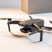
In over fifteen years of working with unmanned aerial vehicles, I’ve witnessed drone technology evolve from a niche hobby into an essential tool that is reshaping entire industries. Of all the advancements, the rise of drone mapping is perhaps the most transformative. It’s the science and art of using drones to create highly detailed, accurate maps and 3D models of the world below. This isn’t just about taking pretty pictures from the sky; it’s about capturing precise, actionable data that empowers professionals in construction, agriculture, surveying, and beyond to make smarter, faster decisions.
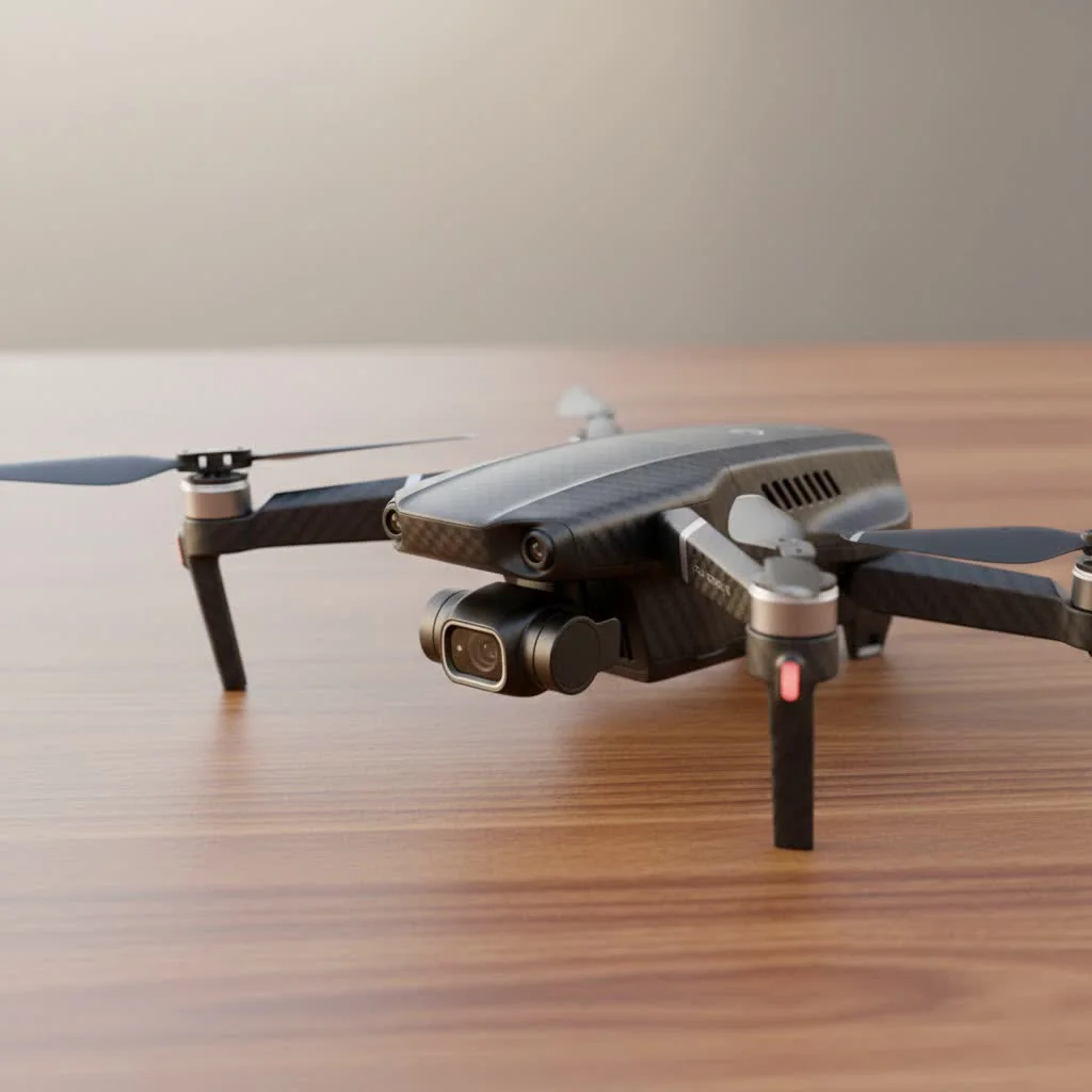
If you’re wondering how to leverage this incredible technology for your projects, you’ve come to the right place. This guide will walk you through everything you need to know about drone mapping, from the fundamental processes to real-world applications and the gear you’ll need to get started.
What Exactly Is Drone Mapping?
Drone mapping, also known as aerial surveying or photogrammetry, is the process of using a drone to capture a large number of overlapping images of a specific area. These images, each tagged with GPS data, are then processed using specialized software to “stitch” them together. The end result is not just a flat image, but a high-resolution, geographically accurate 2D map (called an orthomosaic) or a detailed 3D model of the terrain and everything on it.
Think of it as creating a digital twin of a physical space. This digital model can be measured, analyzed, and monitored over time, providing insights that are impossible to gain from ground level.
How Does Drone Mapping Work? A Step-by-Step Look
While the technology is complex, the workflow is surprisingly straightforward. It breaks down into three main phases: planning the mission, capturing the data, and processing the results.
Step 1: Mission Planning
Before you even launch the drone, the groundwork is laid in the planning stage. Using a flight planning app (like DroneDeploy, Pix4Dcapture, or similar), you’ll define the exact area you want to map on a satellite view. You’ll set parameters like:
- Altitude: Higher altitudes cover more ground but yield lower resolution.
- Overlap: Images typically need 70-80% overlap (both front and side) for the software to successfully stitch them together.
- Flight Pattern: The software automatically generates an efficient grid pattern for the drone to fly, ensuring complete coverage.
For survey-grade accuracy, this is also when you would set up Ground Control Points (GCPs)—marked targets on the ground with known, precise coordinates that act as a reference for the mapping software.
Step 2: The Flight & Data Capture
|
Our Picks for the Best Drone in 2026
As an Amazon Associate I earn from qualifying purchases.
|
||
| Num | Product | Action |
|---|---|---|
| 1 | DJI Mini 3 Fly More Combo (DJI RC), Drones with Camera for Adults 4K, 3 Batteries for 114-min Flight Time, Vertical Shooting, 32800ft (10km) Video Transmission, Lightweight Mini Drone for Beginners |

|
| 2 | DJI Neo Three-Battery Combo, Mini Drone with 4K UHD Camera for Adults, 135g Self Flying Drone that Follows You, Palm Takeoff, Subject Tracking, QuickShots, Stabilized Video (Controller-Free) |
|
| 3 | Drone with 1080P Camera for Beginners and Adults, Foldable Remote Control Quadcopter with Voice Control, Gestures Selfie, Altitude Hold, One Key Start, 3D Flips, 2 Batteries, Toy for Beginners |
|
| 4 | Drone with Camera 1080P HD FPV Foldable Drone for Adults and Beginners, RC Quadcopter with Gravity Control, One Key Take Off/Land, Optical Flow Positioning, 360° Flip, 3 Speed Mode, Waypoint Fly Grey |
|
| 5 | DJI Neo, Mini Drone with 4K UHD Camera for Adults, 135g Self Flying Drone that Follows You, Palm Takeoff, Subject Tracking, QuickShots, Stabilized Video, Built-In Propeller Guard (Controller-Free) |
|
| 6 | Drone with Camera for Adults, 2K HD FPV Drones with Upgrade Altitude Hold, One-Key Take Off/Landing, Speed Adjustment, Headless Mode, 2 Batteries, Toys Gifts for Teen Boys Girls, Beginner |
|
| 7 | LỖI |
|
| 8 | DJI Mini 3 (DJI RC), Lightweight 3x Mechanical Gimbal Drones with Camera for Adults 4K, 38-min Flight Time, up to 32800ft (10km) Video Transmission, Vertical Shooting, GPS Auto Return Integrated |
|
| 9 | DJI Mini 5 Pro Fly More Combo with DJI RC 2, Drone with Camera, 1-Inch CMOS, 4K Drone for Beginners with Omnidirectional Obstacle Sensing, ActiveTrack 360°, 225° Gimbal Rotation, 3 Batteries |
|
| 10 | Drone with Camera - Drones for Adults, with 2 Batteries, Carrying Case, Propellers, 1080P HD Foldable Drone with Stable Hover, Trajectory Flight, Gravity Control, One Key Take Off/Land, 3D Flip |
|
This is the automated part. Once you’ve finalized the plan, the drone takes off and executes the flight path autonomously. It flies along the pre-programmed grid, automatically taking pictures at set intervals. The camera is typically pointed straight down (nadir) for 2D maps or at an angle (oblique) to capture more detail for 3D models. A standard 20-minute flight can capture hundreds of high-resolution images, covering a significant area.
Step 3: Processing the Data
After the drone lands, you upload the images from its SD card to a photogrammetry software platform. This is where the magic happens. The software analyzes the images, identifies common points between them, and uses the GPS data and image overlap to construct the final outputs. These can include:
- Orthomosaic Maps: A single, high-resolution 2D map that has been geometrically corrected so that the scale is uniform, like a traditional map.
- 3D Point Clouds: A massive collection of points in 3D space that represent the shape of the surveyed area.
- Digital Surface Models (DSM): A 3D model of the ground surface, including buildings, vegetation, and other features.
- 3D Mesh Models: A photorealistic textured model of the site, great for visualization and sharing.
Top Applications of Drone Mapping
The ability to generate accurate, on-demand aerial data has made drone mapping invaluable across numerous sectors.
Construction and Earthworks
On a construction site, drone mapping is a game-changer. Teams use it to monitor progress, ensure work aligns with design plans, and improve safety. By flying a site weekly, project managers can track changes, calculate stockpile volumes (like gravel or dirt) with incredible accuracy, and measure cut/fill progress without sending a survey crew out every time. This saves an enormous amount of time and money while reducing disputes.
Agriculture
In precision agriculture, drones equipped with multispectral cameras can create maps that show crop health. These maps highlight areas of stress caused by pests, irrigation issues, or nutrient deficiencies, allowing farmers to apply resources exactly where they’re needed. This optimizes yield, reduces waste, and supports sustainable farming practices.
Land Surveying
For surveyors, drones dramatically increase efficiency and safety. A task that might take a ground crew days to complete can often be done in hours with a drone. It allows for the creation of detailed topographic maps, even in hazardous or inaccessible terrain like steep slopes or busy roadways, without putting personnel at risk.
“Drone mapping isn’t just a replacement for traditional surveying; it’s an enhancement,” says veteran land surveyor Alex Carter. “It provides a level of detail and a holistic view of a site that was previously unimaginable. We can capture a complete snapshot in time, which is invaluable for both planning and record-keeping.”
What Do You Need to Get Started?
Breaking into drone mapping requires a few key components:
- A Suitable Drone: You need a reliable drone with a good quality camera and GPS. Models with Real-Time Kinematic (RTK) capabilities, like the DJI Phantom 4 RTK or Matrice 350 RTK, are the standard for survey-grade accuracy, but even prosumer drones can produce excellent results for many applications.
- Flight Planning Software: Most of these are mobile apps that connect to your drone and automate the flight process.
- Data Processing Software: This is the engine that turns your images into maps. Options range from cloud-based platforms like DroneDeploy and Propeller Aero to desktop software like Pix4Dmapper and Agisoft Metashape.
- Proper Training and Certification: In most countries, you’ll need a commercial drone pilot license to operate legally for mapping purposes. Understanding airspace rules and safe operating procedures is non-negotiable.
Frequently Asked Questions (FAQ)
How accurate is drone mapping?
The accuracy depends on the equipment and methodology used. With a standard consumer drone, you can achieve relative accuracy of a few inches. For survey-grade results, using an RTK/PPK drone and Ground Control Points (GCPs) can deliver absolute accuracy down to the centimeter level.
What is the best drone for mapping?
The “best” drone depends on your specific needs and budget. For high-precision surveying, the DJI Matrice 350 RTK is a top choice. For general construction and site monitoring, the DJI Phantom 4 RTK offers a great balance of performance and cost. However, many professionals start with more accessible models to learn the workflow.
How much does drone mapping software cost?
Software costs vary widely. Some platforms operate on a monthly or annual subscription model, with prices ranging from a hundred to several thousand dollars per year depending on the features. Other desktop-based software is sold as a perpetual license, which can be a significant upfront investment.
Can I create a 3D model with any drone?
Yes, the fundamental principle of photogrammetry works with most modern camera drones. As long as you can capture high-quality, overlapping images (both nadir and oblique), you can generate a 3D model. The quality of the camera and the stability of the drone will directly impact the quality of the final model.
The Future Is Mapped from Above
Drone mapping is more than just a technological trend; it’s a fundamental shift in how we measure and interact with the physical world. It offers a safer, faster, and more cost-effective way to gather critical spatial data. Whether you’re managing a billion-dollar construction project, optimizing a farm’s yield, or surveying challenging terrain, mastering drone mapping can provide a decisive competitive advantage. By starting with the right tools and a solid understanding of the workflow, you can begin transforming pixels in the sky into powerful insights on the ground.
Get our weekly buyer guide
Practical specs, not advice. Unsubscribe anytime.