Drones have soared far beyond the world of hobbyists, transforming into powerful tools that are reshaping entire industries. If you’ve only ever pictured a drone as a recreational gadget, you’re about to see a whole new dimension of their capabilities. The rise of professional drone services has unlocked safer, faster, and more cost-effective ways to gather data, market properties, and manage critical infrastructure. This is no longer science fiction; it’s a practical solution that businesses are leveraging every single day to gain a competitive edge.
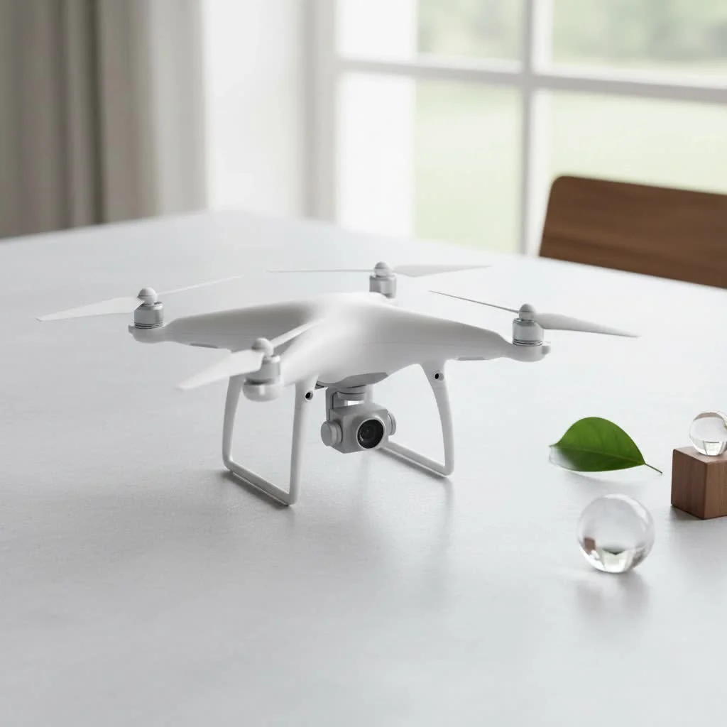
From breathtaking aerial cinematography to precision agriculture, the applications are vast and growing. As a drone expert with over 15 years in the field, I’ve witnessed this evolution firsthand. Here at RVSWS, we believe in empowering users with knowledge, and this guide is designed to give you a comprehensive understanding of what professional drone services entail and how they can benefit you. For see our consumer recommendations on this site.
What Exactly Are Drone Services?
At its core, a drone service is any commercial operation that utilizes an unmanned aerial vehicle (UAV) to perform a specific task for a client. Think of it as hiring a highly specialized, remote-controlled toolkit that can fly. These services are provided by certified pilots who are not only skilled in flying but are also experts in data capture, safety protocols, and regulatory compliance, such as the FAA’s Part 107 rules in the United States. The process is meticulous, involving detailed mission planning, pre-flight safety checks, data collection, and post-processing to deliver actionable insights.
Top Drone Services Transforming Industries
The versatility of drones means their applications are incredibly diverse. A single drone, equipped with different sensors or cameras, can perform a variety of jobs that once required expensive manned aircraft, ground crews, or dangerous manual labor.
Aerial Photography and Videography
This is one of the most well-known drone services. High-resolution cameras mounted on stable drone platforms capture stunning images and cinematic video from unique aerial perspectives.
- Real Estate: Agents use dramatic aerial shots of properties to create compelling listings that attract more buyers.
- Marketing: Businesses create dynamic video content for websites and social media, showcasing their facilities or products in a way that ground-level shots cannot.
- Events: Everything from weddings to large-scale concerts can be captured from the air, providing a grander sense of scale.
Surveying and Mapping
Drones equipped with high-tech sensors like LiDAR (Light Detection and Ranging) or photogrammetry cameras can create incredibly detailed and accurate 3D models and topographic maps.
- Construction: Project managers monitor site progress, calculate earthwork volumes (cut and fill), and conduct safety inspections with far greater speed and accuracy than traditional survey methods.
- Land Management: Planners and environmental scientists can map terrain, monitor erosion, and assess land use with precision.
Agricultural Drone Services
|
Our Picks for the Best Drone in 2026
As an Amazon Associate I earn from qualifying purchases.
|
||
| Num | Product | Action |
|---|---|---|
| 1 | Drone with Camera - Drones for Adults, with 2 Batteries, Carrying Case, Propellers, 1080P HD Foldable Drone with Stable Hover, Trajectory Flight, Gravity Control, One Key Take Off/Land, 3D Flip |

|
| 2 | DJI Neo Three-Battery Combo, Mini Drone with 4K UHD Camera for Adults, 135g Self Flying Drone that Follows You, Palm Takeoff, Subject Tracking, QuickShots, Stabilized Video (Controller-Free) |
|
| 3 | DJI Mini 5 Pro Fly More Combo with DJI RC 2, Drone with Camera, 1-Inch CMOS, 4K Drone for Beginners with Omnidirectional Obstacle Sensing, ActiveTrack 360°, 225° Gimbal Rotation, 3 Batteries |
|
| 4 | DJI Mini 3 Fly More Combo (DJI RC), Drones with Camera for Adults 4K, 3 Batteries for 114-min Flight Time, Vertical Shooting, 32800ft (10km) Video Transmission, Lightweight Mini Drone for Beginners |
|
| 5 | Drone with Camera 1080P HD FPV Foldable Drone for Adults and Beginners, RC Quadcopter with Gravity Control, One Key Take Off/Land, Optical Flow Positioning, 360° Flip, 3 Speed Mode, Waypoint Fly Grey |
|
| 6 | Drone with Camera for Adults, 2K HD FPV Drones with Upgrade Altitude Hold, One-Key Take Off/Landing, Speed Adjustment, Headless Mode, 2 Batteries, Toys Gifts for Teen Boys Girls, Beginner |
|
| 7 | DJI Mini 3 (DJI RC), Lightweight 3x Mechanical Gimbal Drones with Camera for Adults 4K, 38-min Flight Time, up to 32800ft (10km) Video Transmission, Vertical Shooting, GPS Auto Return Integrated |
|
| 8 | Drone with 1080P Camera for Beginners and Adults, Foldable Remote Control Quadcopter with Voice Control, Gestures Selfie, Altitude Hold, One Key Start, 3D Flips, 2 Batteries, Toy for Beginners |
|
| 9 | DJI Neo, Mini Drone with 4K UHD Camera for Adults, 135g Self Flying Drone that Follows You, Palm Takeoff, Subject Tracking, QuickShots, Stabilized Video, Built-In Propeller Guard (Controller-Free) |
|
| 10 | LỖI |
|
In farming, drones are nothing short of a revolution, enabling what is known as precision agriculture.
- Crop Health Monitoring: Multispectral sensors can identify plant stress, water deficiencies, or pest infestations before they are visible to the human eye.
- Efficient Application: Farmers can use this data to apply fertilizer or water precisely where it’s needed, saving resources and increasing crop yields.
Inspection Services
Drones make it safer and more efficient to inspect hard-to-reach or dangerous structures.
- Infrastructure: Bridges, cell towers, and power lines can be inspected up close without risking human lives.
- Energy Sector: Wind turbines and solar farms are regularly inspected by drones to detect damage or defects, reducing downtime and improving safety.
- Roofing and Insurance: Insurance adjusters and roofing contractors can assess roof damage quickly and safely after a storm.
“The biggest shift we’ve seen is in safety and efficiency,” notes Alex Carter, Lead UAV Pilot at RVSWS. “Instead of sending a person to climb a 200-foot tower, we can send a drone to gather more detailed data in a fraction of the time, with zero risk to human life. It’s a game-changer.”
How to Choose the Right Drone Service Provider
With the industry’s growth, many providers have emerged. Choosing the right one is critical for a successful project. Here’s a checklist to help you make an informed decision.
- Verify Licensing and Insurance: The first question you should always ask is if the pilot is certified (e.g., FAA Part 107 in the US) and if they carry liability insurance. This is non-negotiable and protects you from any potential accidents.
- Review Their Portfolio and Experience: Look for a provider with a proven track record in your specific industry. A company specializing in real estate photography might not be the best fit for a complex industrial inspection. Ask for case studies or examples of past work.
- Understand Their Technology: What kind of drones and sensors do they use? Do they have the right equipment for your project’s specific needs, such as thermal cameras for heat-loss inspections or LiDAR for high-precision mapping?
- Inquire About Safety Protocols: A professional operator will have a clear, documented safety and mission planning process. This includes pre-flight checks, airspace assessment, and emergency procedures.
The Future of Drone Services
The drone services industry is poised for even more incredible advancements. We are seeing a move towards greater automation and the integration of artificial intelligence (AI). AI will help analyze the vast amounts of data collected by drones, automatically identifying issues like cracks in a bridge or diseased plants in a field. As regulations evolve, we can also expect to see more complex operations, such as drone deliveries in urban areas and fully autonomous inspection fleets.
Frequently Asked Questions (FAQ)
How much do drone services cost?
The cost varies widely depending on the complexity of the job, the equipment required, and the level of data analysis involved. A simple real estate photoshoot might cost a few hundred dollars, while a large-scale topographic survey could run into the thousands.
Are drone services legal?
Yes, commercial drone operations are legal, provided the operator adheres to the regulations set by the governing aviation authority, such as the FAA in the United States. This includes having the proper certification and following all airspace rules.
What industries use drones the most?
Construction, agriculture, real estate, energy, and media/entertainment are among the largest users of drone services. However, applications are expanding rapidly into areas like public safety, insurance, and environmental management.
How long does a typical drone flight last?
The flight time for most commercial drones is between 25 and 45 minutes per battery. For larger projects, professional pilots will have multiple batteries on hand to continue the mission with minimal downtime.
Do I need to be present during the drone operation?
This often depends on the project and the provider’s policy. While it’s not always necessary for you to be on-site, it can be helpful for certain missions, like creative photoshoots, to ensure the pilot is capturing the exact shots you envision.
Conclusion
Professional drone services are no longer a niche luxury; they are an essential tool for modern businesses seeking to improve efficiency, enhance safety, and unlock new perspectives. By providing high-quality aerial data, these services empower better decision-making across countless industries. Whether you’re looking to market a property, manage a construction site, or monitor your crops, a professional drone service provider can offer a powerful solution. The sky is no longer the limit—it’s the new frontier of opportunity.
Get our weekly buyer guide
Practical specs, not advice. Unsubscribe anytime.
I’ve been looking into getting my real estate business into aerial photography for a while now, and this guide really laid out the different service models clearly. It helped me understand the investment needed for high-quality drone services versus trying to do it all in-house. Definitely feeling more confident about exploring options for marketing properties with stunning aerial shots.
Great overview of the professional drone landscape. I’ve been a hobbyist for years and am considering getting into commercial work, specifically for infrastructure inspection. The section on data gathering and its importance for critical infrastructure really resonated with me. I wish there was a bit more detail on specific certifications needed for different types of commercial operations, but it’s a solid starting point.
As someone who manages a construction company, the idea of using drones for safer and faster site surveys is incredibly appealing. This guide really highlighted how these tools can provide a competitive edge by streamlining data collection. It’s clear that professional drone services are a practical solution, not just a futuristic concept. We’re definitely looking into integrating this.
The guide was informative about the general uses of professional drones, like precision agriculture, which I found interesting. However, I was hoping for more specific brand recommendations or a breakdown of the typical costs associated with hiring these services. It felt a little too high-level for someone trying to budget for a specific project. Still, it’s a good introduction to the topic.