Welcome to the RVSWS blog, where we demystify drone technology. With over 15 years in the field, I’ve seen countless innovations, but few have been as transformative as the Lidar Drone. This technology is not just about taking pictures from above; it’s about creating incredibly detailed 3D maps of the world beneath, revealing insights that were previously impossible to see. Whether you’re in surveying, agriculture, or construction, understanding what a LiDAR drone can do is essential.
So, what exactly is a LiDAR drone, and how is it revolutionizing industries? Let’s dive in and explore the technology that allows us to see the world in a completely new dimension.
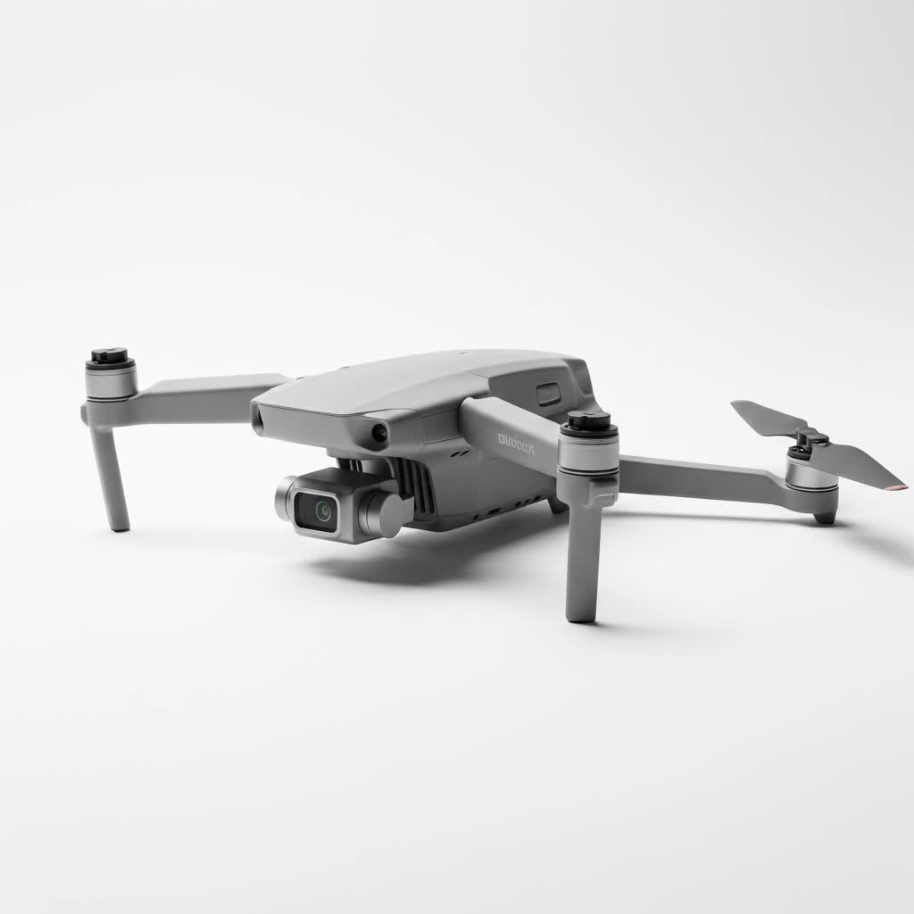
What is a LiDAR Drone and How Does It Work?
A LiDAR drone is an unmanned aerial vehicle (UAV) equipped with a LiDAR sensor. LiDAR, which stands for Light Detection and Ranging, is a remote sensing method that uses light in the form of a pulsed laser to measure variable distances to the Earth.
Think of it like a bat’s echolocation, but with light instead of sound. The process is elegantly simple yet powerful:
- Pulse Emission: The LiDAR sensor fires thousands of rapid laser pulses per second towards the ground.
- Signal Return: These light pulses bounce off objects—like buildings, trees, and the ground itself—and reflect back to the sensor.
- Time Measurement: The sensor measures the precise time it takes for each pulse to travel from the drone, to the object, and back again.
- Data Calculation: By combining this time-of-flight data with the drone’s exact position (provided by an onboard GNSS/IMU system), the system calculates a precise, three-dimensional coordinate for every point the laser touched.
Collectively, these millions of individual points form what’s known as a “point cloud.” This point cloud is a highly accurate, data-rich 3D model of the surveyed area.
Key Components of a Drone LiDAR System
A complete LiDAR drone setup is more than just the drone and a laser. It’s an integrated system where each part plays a critical role in data accuracy.
- UAV (The Drone): The aerial platform that carries the payload. It needs to be stable, reliable, and capable of carrying the weight of the LiDAR system while providing sufficient flight time.
- LiDAR Sensor: The heart of the system. This unit houses the laser scanner that emits and receives the light pulses. The quality of the sensor determines the range, accuracy, and density of the data points.
- GNSS/IMU: A high-precision Global Navigation Satellite System (GNSS) receiver and an Inertial Measurement Unit (IMU) are crucial. The GNSS tracks the drone’s exact location, while the IMU tracks its orientation (roll, pitch, yaw). Together, they ensure every data point is correctly georeferenced.
- Data Storage & Processing Software: Onboard storage is needed to handle the massive amounts of data collected. Afterward, specialized software is used to process the raw point cloud, clean up noise, and classify the data points (e.g., separating ground from vegetation).
|
Our Picks for the Best Drone in 2026
As an Amazon Associate I earn from qualifying purchases.
|
||
| Num | Product | Action |
|---|---|---|
| 1 | DJI Neo Three-Battery Combo, Mini Drone with 4K UHD Camera for Adults, 135g Self Flying Drone that Follows You, Palm Takeoff, Subject Tracking, QuickShots, Stabilized Video (Controller-Free) |

|
| 2 | Drone with Camera for Adults, 2K HD FPV Drones with Upgrade Altitude Hold, One-Key Take Off/Landing, Speed Adjustment, Headless Mode, 2 Batteries, Toys Gifts for Teen Boys Girls, Beginner |
|
| 3 | DJI Mini 5 Pro Fly More Combo with DJI RC 2, Drone with Camera, 1-Inch CMOS, 4K Drone for Beginners with Omnidirectional Obstacle Sensing, ActiveTrack 360°, 225° Gimbal Rotation, 3 Batteries |
|
| 4 | Drone with 1080P Camera for Beginners and Adults, Foldable Remote Control Quadcopter with Voice Control, Gestures Selfie, Altitude Hold, One Key Start, 3D Flips, 2 Batteries, Toy for Beginners |
|
| 5 | DJI Neo, Mini Drone with 4K UHD Camera for Adults, 135g Self Flying Drone that Follows You, Palm Takeoff, Subject Tracking, QuickShots, Stabilized Video, Built-In Propeller Guard (Controller-Free) |
|
| 6 | LỖI |
|
| 7 | DJI Mini 3 (DJI RC), Lightweight 3x Mechanical Gimbal Drones with Camera for Adults 4K, 38-min Flight Time, up to 32800ft (10km) Video Transmission, Vertical Shooting, GPS Auto Return Integrated |
|
| 8 | DJI Mini 3 Fly More Combo (DJI RC), Drones with Camera for Adults 4K, 3 Batteries for 114-min Flight Time, Vertical Shooting, 32800ft (10km) Video Transmission, Lightweight Mini Drone for Beginners |
|
| 9 | Drone with Camera 1080P HD FPV Foldable Drone for Adults and Beginners, RC Quadcopter with Gravity Control, One Key Take Off/Land, Optical Flow Positioning, 360° Flip, 3 Speed Mode, Waypoint Fly Grey |
|
| 10 | Drone with Camera - Drones for Adults, with 2 Batteries, Carrying Case, Propellers, 1080P HD Foldable Drone with Stable Hover, Trajectory Flight, Gravity Control, One Key Take Off/Land, 3D Flip |
|
LiDAR Drone vs. Photogrammetry: What’s the Difference?
A common question I get is how a LiDAR drone differs from a drone used for photogrammetry. While both create maps and 3D models, their methods and best-use cases are distinct.
Photogrammetry uses a high-resolution camera to take hundreds or thousands of overlapping photos. Software then stitches these images together to create a 3D model.
Here’s a breakdown of the key differences:
| Feature | LiDAR Drone | Photogrammetry Drone |
|---|---|---|
| Technology | Active: Uses laser pulses | Passive: Uses reflected ambient light |
| Data Output | Direct 3D point cloud | 2D images, processed into 3D models |
| Vegetation | Can penetrate tree canopies to map the ground | Captures the top of the canopy only |
| Lighting | Can operate in low-light or at night | Requires good, consistent lighting |
| Accuracy | Generally higher vertical accuracy | Can be highly accurate but sensitive to lighting |
| Cost | Higher initial investment | Lower initial investment |
As our in-house geomatics expert, Dr. Miles Anderson, often says, “Choosing between LiDAR and photogrammetry isn’t about which is better, but which is the right tool for the job. For mapping the true ground surface under a dense forest, LiDAR is unbeatable. For creating a visually stunning, colorized 3D model of a building, photogrammetry is often the more efficient choice.”
Top Applications of LiDAR Drone Technology
The ability to create precise 3D models quickly and safely has made the LiDAR drone an indispensable tool across numerous industries.
Surveying and Mapping
This is the primary application. A LiDAR drone can survey large or difficult-to-access areas in a fraction of the time it would take a ground crew. It produces survey-grade topographic maps and Digital Elevation Models (DEMs) with exceptional accuracy.
Forestry and Environmental Management
Because LiDAR can penetrate vegetation, it’s a game-changer for forestry. Analysts can use the data to:
- Calculate forest biomass and carbon stock.
- Measure tree height and canopy density.
- Map the forest floor to understand hydrology and terrain.
Construction and Engineering
On a construction site, a LiDAR drone helps track progress, calculate earthwork volumes (stockpiles), and conduct as-built surveys to compare against design plans. This improves efficiency and reduces costly errors.
Agriculture
In precision agriculture, LiDAR data helps create detailed topographic maps of fields. This information is used for planning irrigation systems, analyzing water flow, and optimizing crop planting for better yields.
Archaeology
Archaeologists use LiDAR to uncover hidden history. The technology can reveal subtle changes in ground elevation, mapping ancient roads, buildings, and agricultural systems that are completely hidden by centuries of forest growth.
How to Choose the Right LiDAR Drone
Selecting a LiDAR drone is a significant investment, so it’s vital to choose a system that matches your specific project requirements.
Factors to Consider
- Accuracy Requirements: What level of accuracy do your projects demand? Survey-grade applications require systems with high-end GNSS/IMU components for centimeter-level precision.
- Sensor Quality: Consider the sensor’s range, scan rate (points per second), and the number of returns it can capture per pulse. Multiple returns are essential for applications like forestry.
- Drone Platform: The drone must be able to support the LiDAR payload’s weight and provide enough flight time to cover your target area efficiently. Battery life and weather resistance are key.
- Software Workflow: The best hardware is useless without intuitive software for mission planning and data processing. Ensure the software ecosystem is robust and user-friendly.
- Budget: LiDAR systems can range from tens of thousands to over a hundred thousand dollars. Determine your budget, but prioritize data quality and reliability to ensure a good return on investment.
Frequently Asked Questions (FAQ)
How much does a LiDAR drone cost?
The cost of a complete LiDAR drone system varies widely. Entry-level systems might start around $20,000, while high-end, survey-grade systems from top manufacturers can easily exceed $100,000. This price typically includes the drone, the LiDAR sensor, the GNSS/IMU, and initial software licenses.
Is LiDAR better than photogrammetry?
Neither is inherently “better”; they are different tools for different tasks. LiDAR excels at creating accurate elevation models, especially in vegetated areas. Photogrammetry is often more cost-effective for creating visually realistic, colorized 3D models and orthomosaic maps when ground visibility is clear.
How accurate is LiDAR drone data?
The accuracy depends on the quality of the system components. Professional-grade LiDAR drone systems can achieve absolute accuracy in the range of 2 to 5 centimeters. This high level of precision makes them suitable for most surveying and engineering applications.
What is a point cloud?
A point cloud is the direct output of a LiDAR scanner. It’s a massive collection of individual data points, each with its own X, Y, and Z coordinate in 3D space. This raw data is the foundation from which all other deliverables, like 3D meshes, topographic maps, and elevation models, are created.
The Future is Measured in Points
The LiDAR drone is more than just a flying gadget; it’s a sophisticated data collection tool that is fundamentally changing how we measure and interact with the physical world. From ensuring the safety of our infrastructure to uncovering lost cities, its applications are vast and growing. As the technology becomes more accessible and powerful, it will continue to unlock new efficiencies and insights across every industry it touches.
At RVSWS, we believe that understanding these advanced tools is the first step toward harnessing their full potential. Keep looking to the skies—the future of mapping is already here.